

hi all,
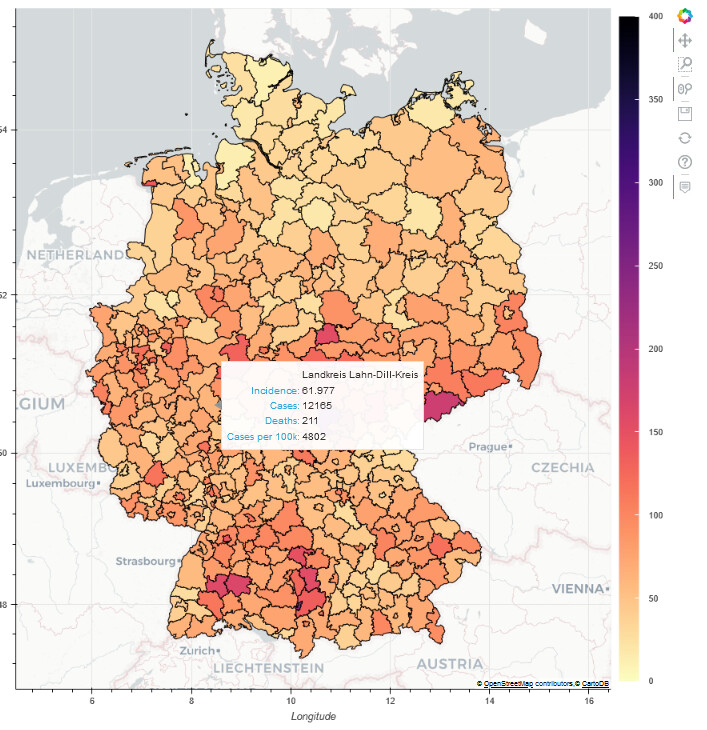
I’ve created a notebook to map current covid incidence for Germany, using bokeh and geopandas. The notebook is short and fetches the required data from other sources. More info on my GitHub repository and the notebook can also be run stand-alone on Google Colab.
Feel free to run it yourself, expand and/or adapt to other countries.
Below a screenshot of the final result, showing the window with additional data that pops out when hovering over the map:





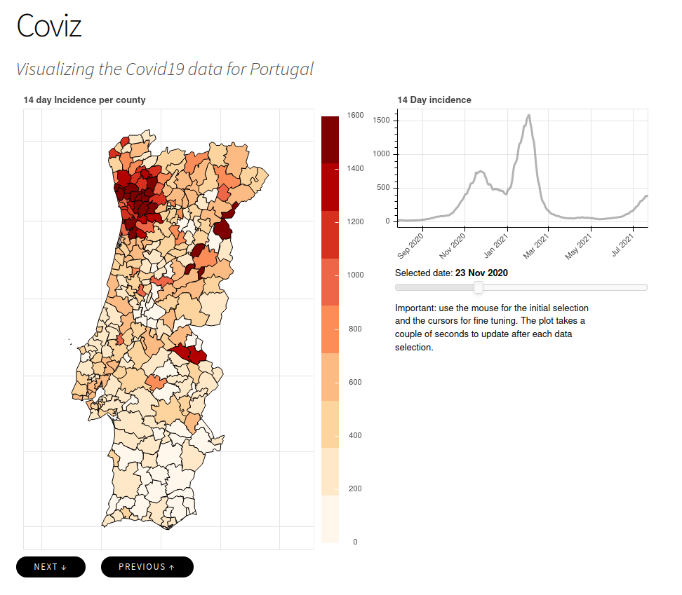
 The solution is online now.

