How to use it?
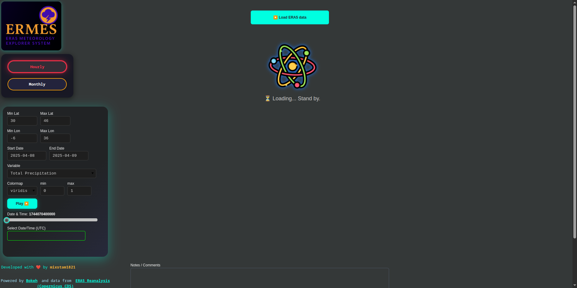
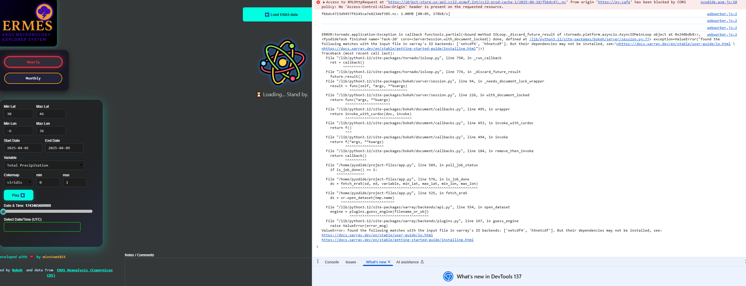
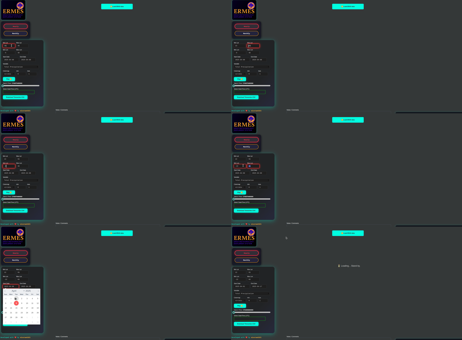
- Quick Start: Set the latitude and longitude range for your area of interest and adjust the date range as needed. Then, press the top button to load the data.
Note: Live data is not currently supported—please use the tool to explore historical weather or climate data. The default mode is hourly, so it’s recommended to start with that.
-
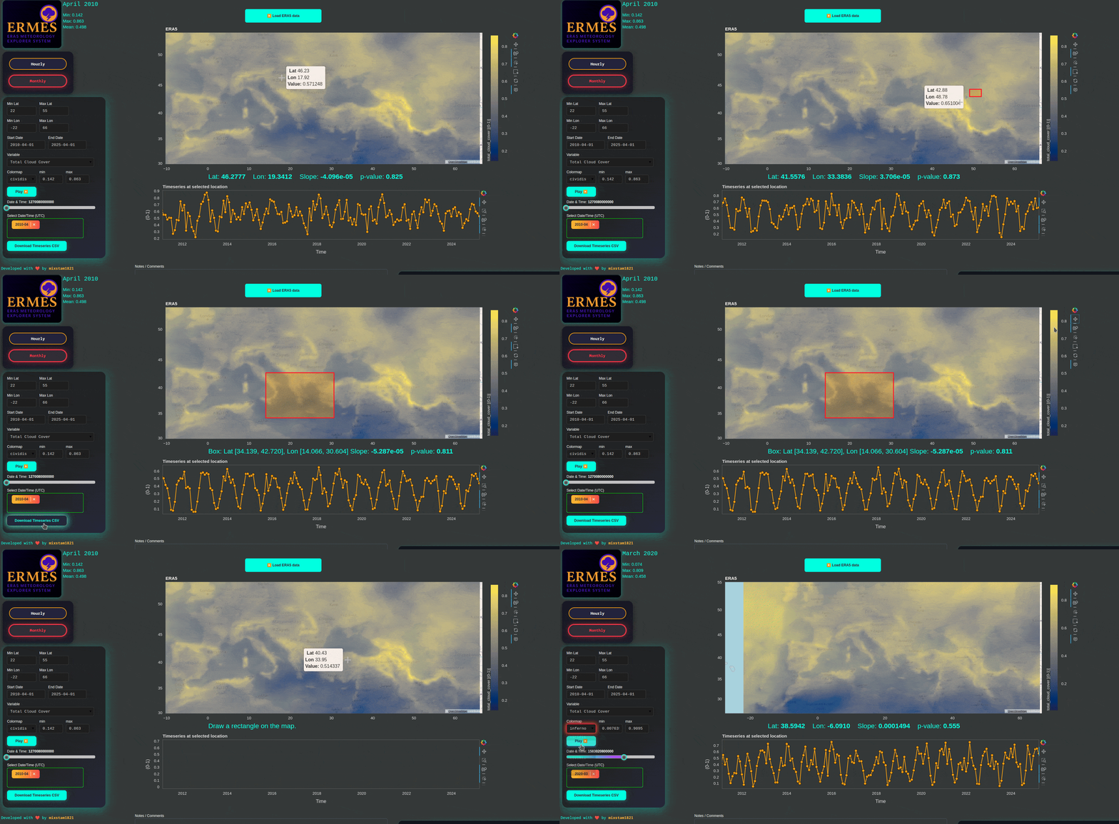
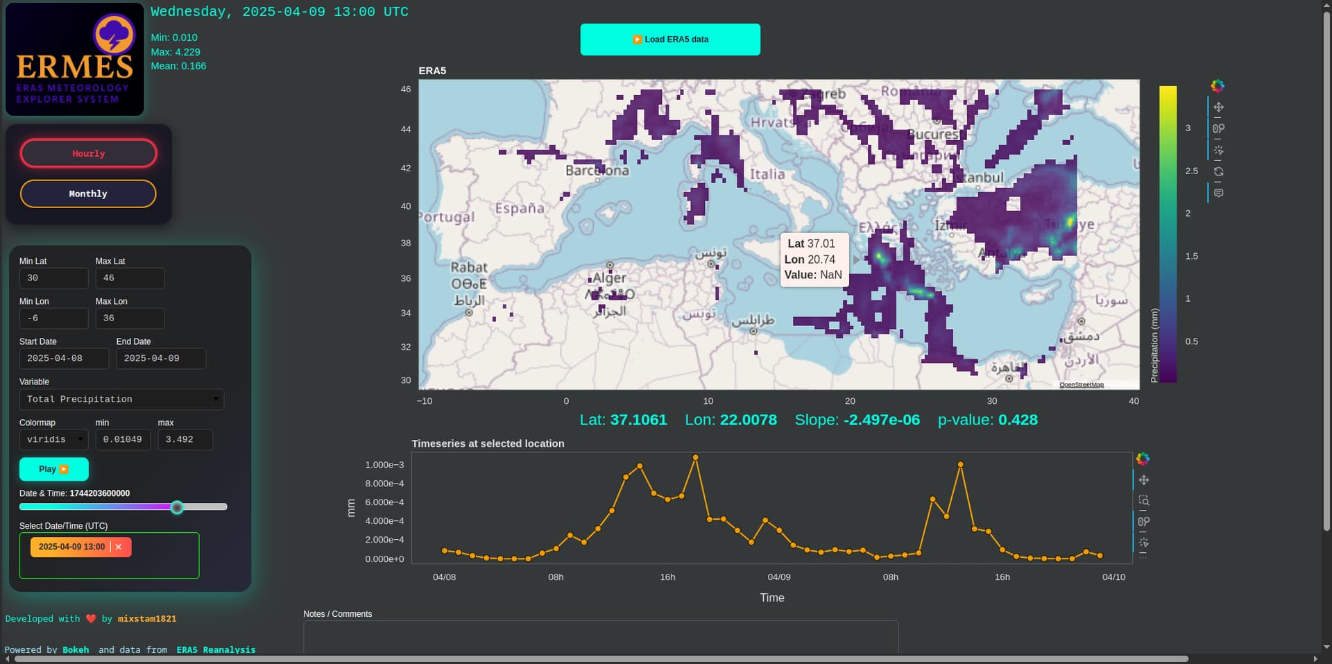
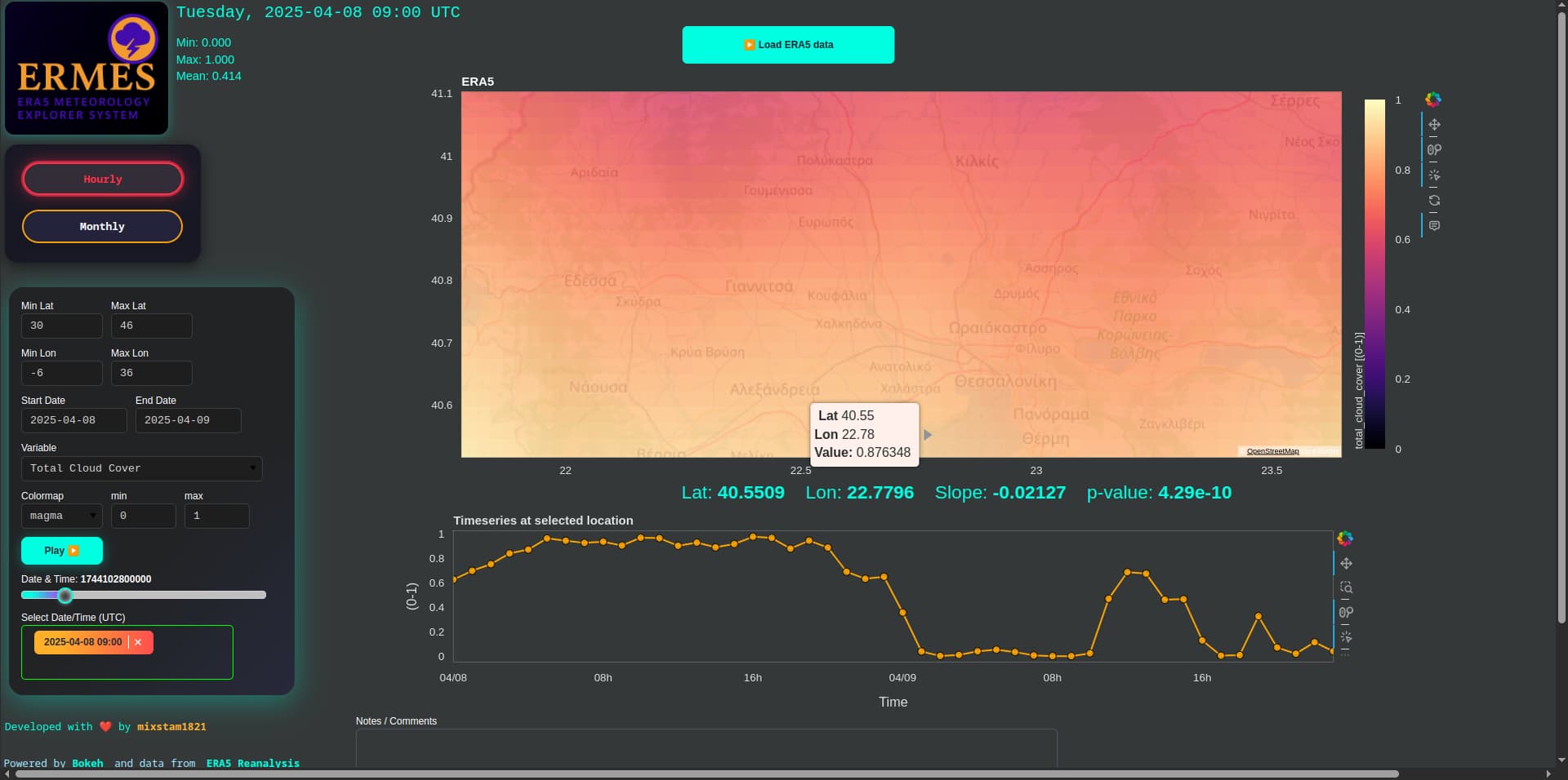
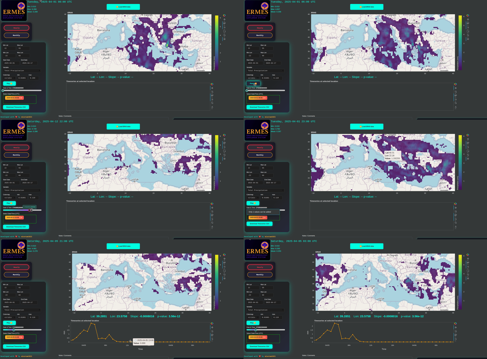
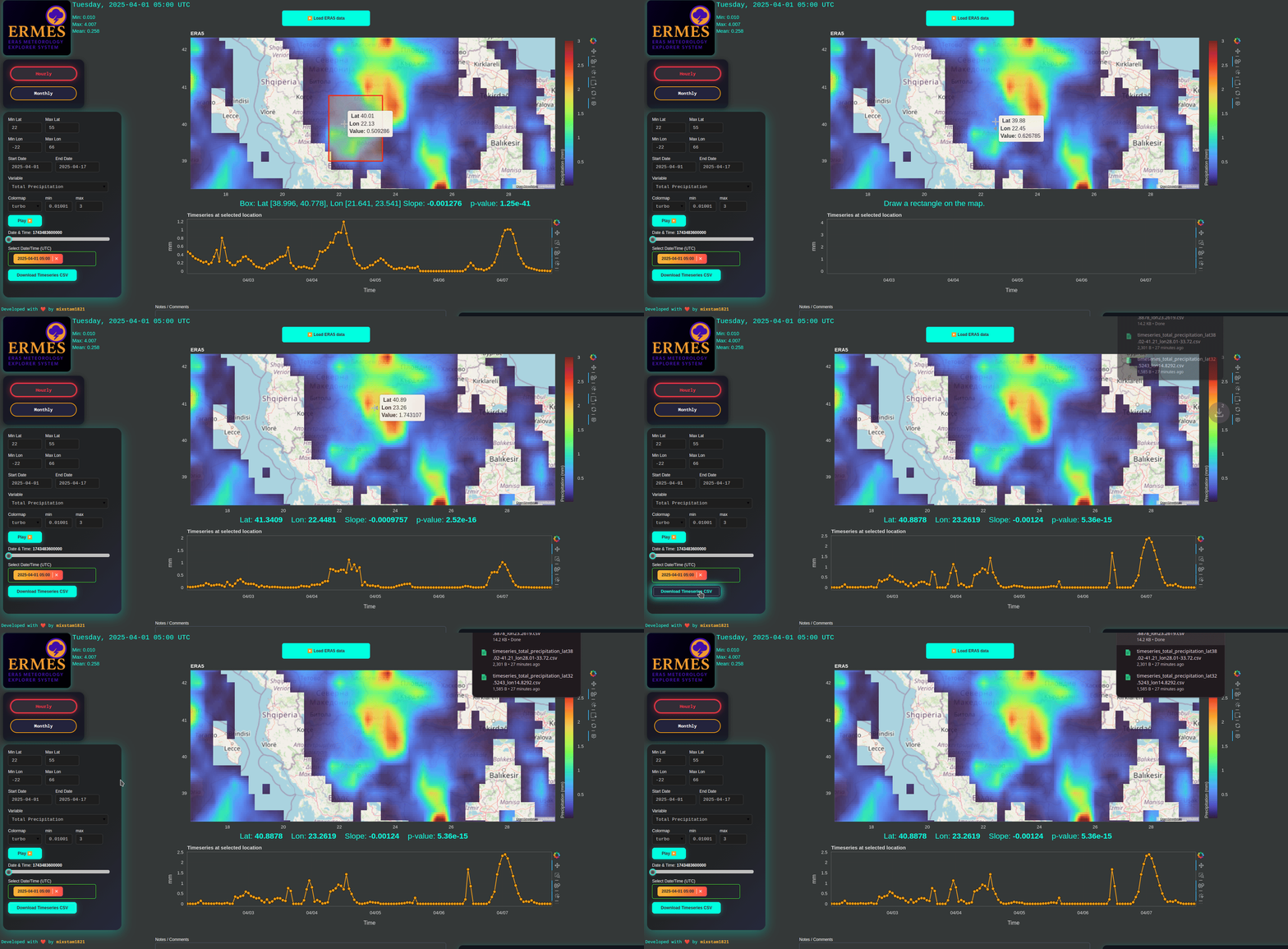
After about a minute, the data will be loaded from the ERA5 database. The map displays data for a single date, which you can change using the slider or dropdown menu. Click on any location (lat/lon) on the map to view the timeseries of the selected variable at that point. You can also click on points within the timeseries plot to update the map to that specific date. Use the play button to animate the map over time.
-
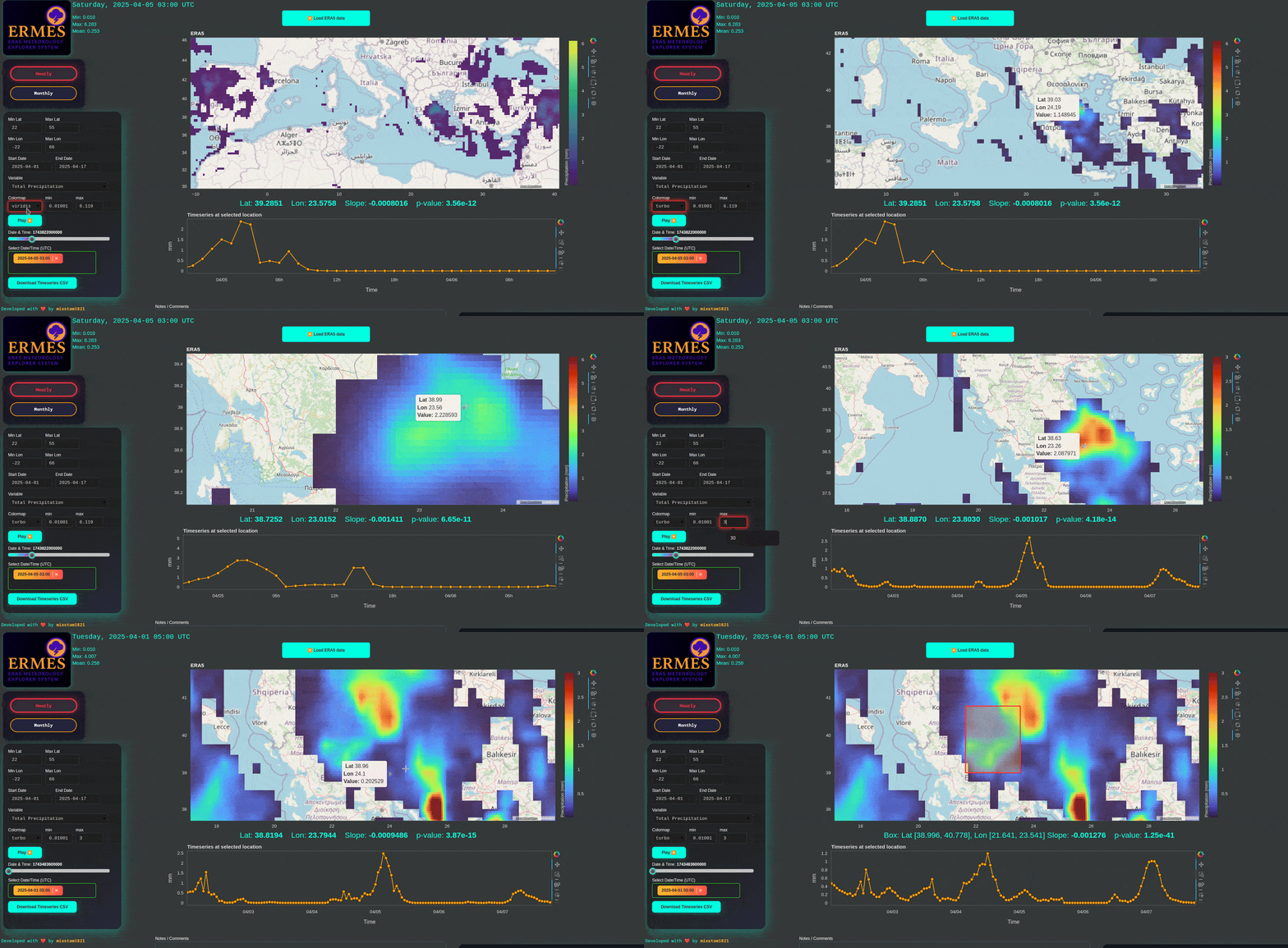
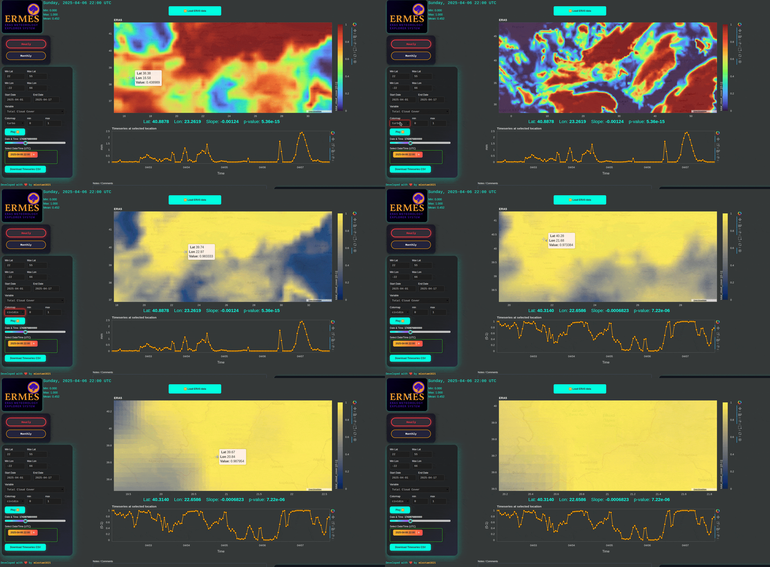
You can change the colormap and adjust its minimum and maximum values. Interact with the map using wheel zoom and click events. To get a spatially averaged timeseries, select the box tool from the toolbox, then hold Shift and click-drag to draw your region of interest. Release the mouse first, then release Shift. To remove the red selection box, simply click on it and press Backspace. Use the “Download Timeseries CSV” button to download the currently displayed timeseries.
-
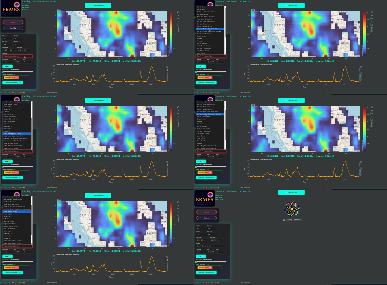
Changing the variable will automatically start loading the new data.
-
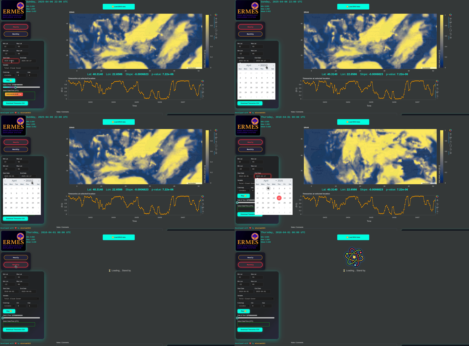
If you want to go monthly, firstly set the new date range (eg, April 2020 to May 2025) and then press the monthly button.
-
After the monthly data loading, you can explore it or change the variable.