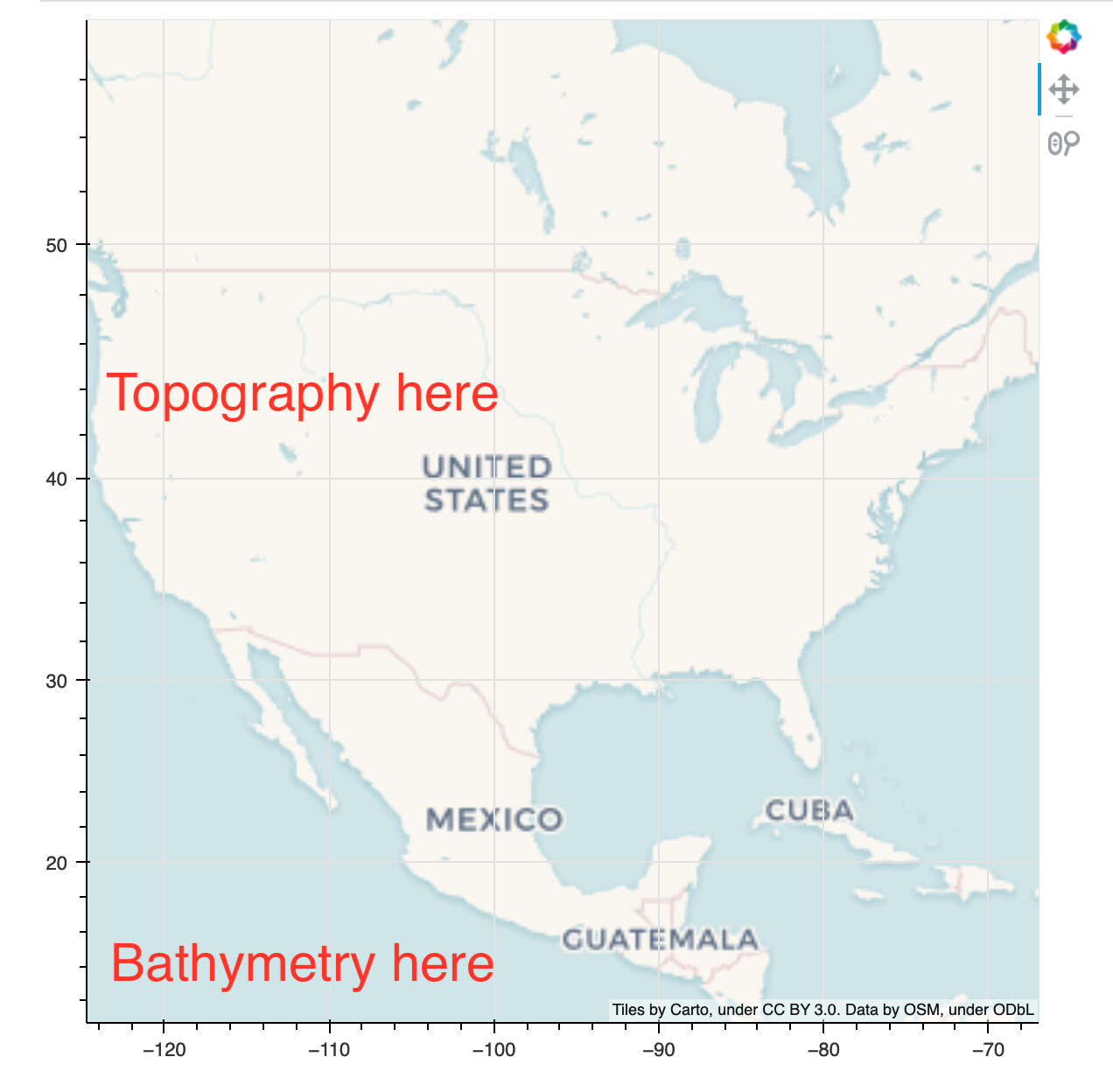
I’m new to Bokeh and working through the fantastic Jupyter notebook examples. Example 09 - Geographic Plots is working fantastically well for me and I’d like to adapt it for a scientific application that I’m working on. Specifically, I’m wondering if and how it might be possible to use Bokeh in this way to show topography and bathymetry (rather than political boundaries) using some of this beautiful automatic tiling approach? Advice much appreciated!