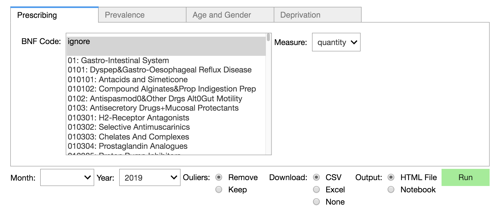
GeoHealth is a public health dashboard that enables the joint presentation of medical and social features on the country’s map. The dashboard is designed in a Jupyter notebook using ipywidgets to build and organize dropdown meuns to select the relevant features and mesures. The code was written in a modular fashion to allow developers and data scientists to modify the project or its elements to other goals. Reusable elements include the geo-map plotting function, the dropdown function that builds the UI and database connectors and querying tools. If you’re a data scientist researching with Python+Jupyter Notebook you may find interest in the code, architecture or use cases.
User Interace (Ipywidgets)
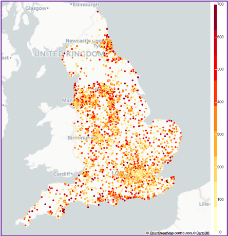
Map: Country
Regional Plot (Bokeh Widgets)
